ScanEagle Unmanned Aerial Vehicle (UAV)
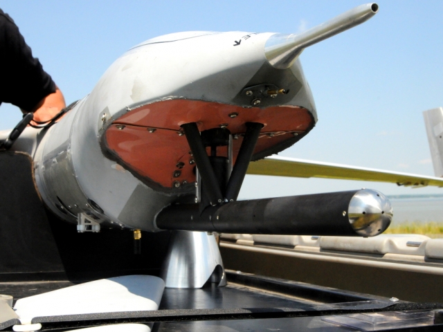
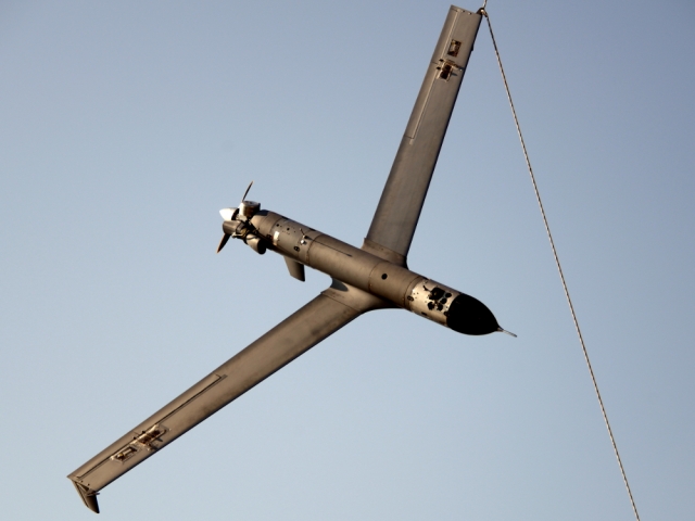
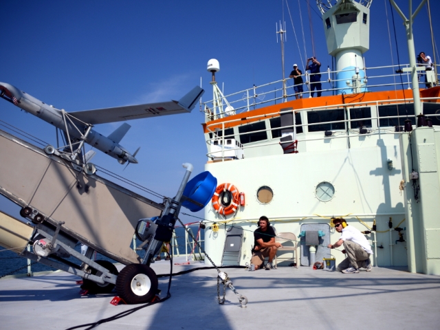
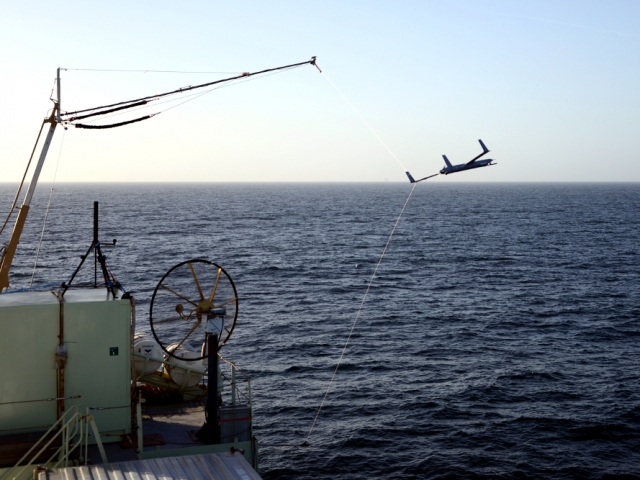
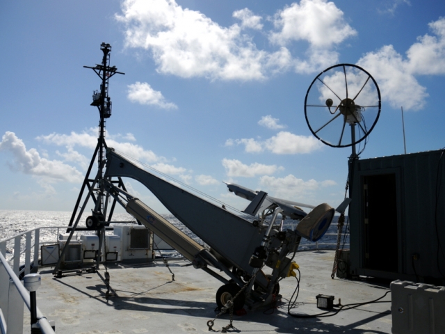
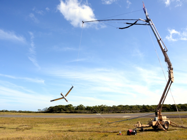
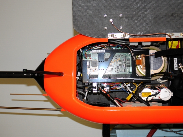
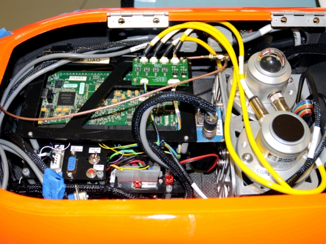
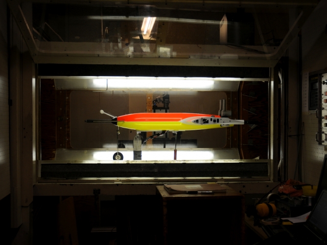
The Boeing Insitu ScanEagle is an unmanned aerial vehicle with a payload capacity of up to 3.4 kg for scientific instrumentation. The ScanEagle wingspan is 3.1 m with a 2 m long fuselage with standard mission airspeeds around 30 m/s. Maximum takeoff weight is 22 kg with a mission endurance of just over 10 hours for a 3kg payload weight. Communication range is up to 100 km line of sight with a 5 km vertical ceiling. Takeoff is performed from a pneumatic launcher and recovery via “SkyHook” wing capture with a vertical line which allow for ship-based deployments. The Air-Sea Interaction group has developed three specific instrumented payload packages for the ScanEagle platform as described below.
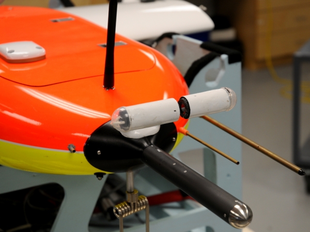
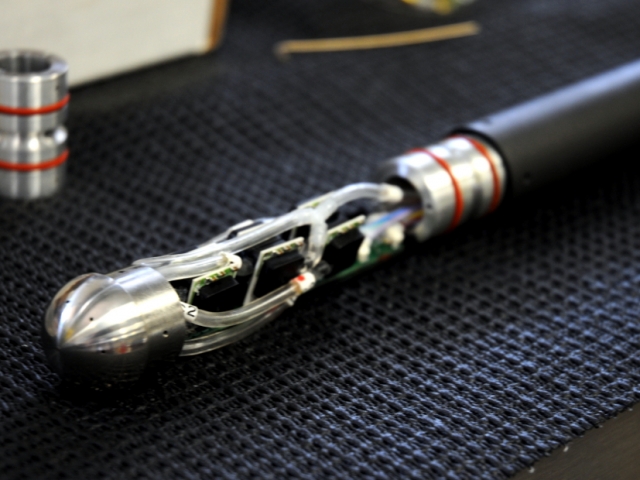
ScanEagle Flux Payload Instrumentation:
Air-Sea Interaction Lab custom turbulence probe
Campbell Scientific krypton hygrometer
Opsens fiber optic temperature sensor
Measurement Devices ILM-500-R nadir lidar altimeter
Advance Security SSC-106CXHRB29 nose camera
Everest Sea-Therm sea surface temperature
Vaisala HMP45C temperature and humidity sensor
NovAtel OEMV-3 GPS receiver
Novatel SPAN LN200 IMU
ScanEagle Imaging Payload Instrumentation:
Measurement Devices ILM-500-R nadir lidar altimeter
Prosilica GC1380H camera
FLIR A325 longwave IR camera
Advance Security SSC-106CXHRB29 nose camera
Everest Sea-Therm sea surface temperature
Vaisala HMP45C temperature and humidity sensor
NovAtel OEMV-3 GPS receiver
ScanEagle Radiometric Payload Instrumentation:
Hukseflux SR03 and IR02 upward and downward looking pyrano-/pyrgeometers
Prosilica GC1380H camera
Advance Security SSC-106CXHRB29 nose camera
Everest Sea-Therm sea surface temperature
Vaisala HMP45C temperature and humidity sensor
NovAtel OEMV-3 GPS receiver
ScanEagle UAV Media
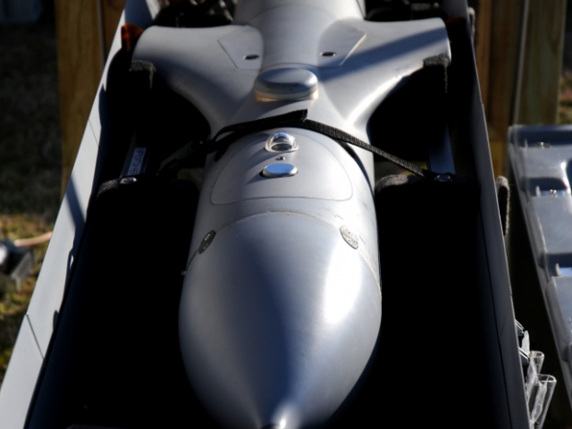
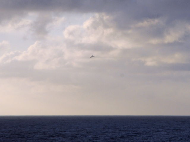
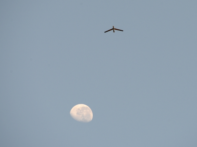
Image gallery of ScanEagle UAV in the field and in the lab. Click on images for description.
Video of ship launch and recovery of a ScanEagle UAV from the R/V Revelle during the EquatorMix cruise in the equatorial Pacific in October 2012.
Manta UAV
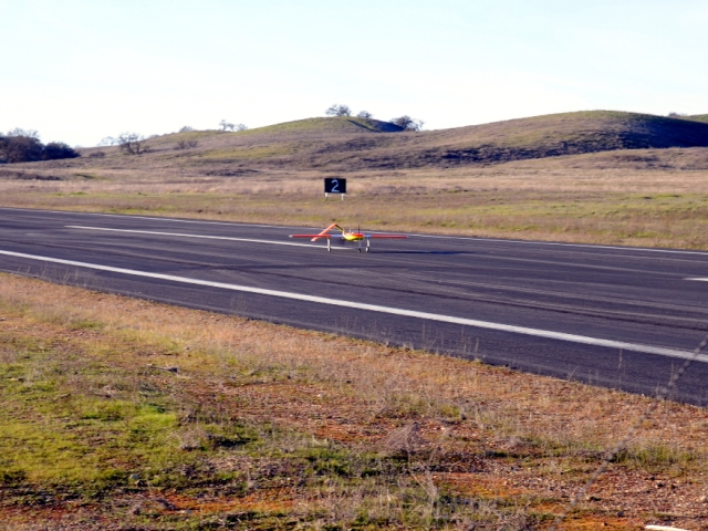
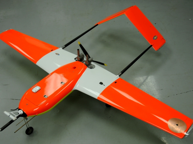
The Raytheon Manta is an unmanned aerial vehicle with a payload capacity of up to 6.8 kg for scientific instrumentation. The Manta wingspan is 2.7 m and overall length is 1.9 m with standard mission airspeeds around 30 m/s. Maximum takeoff weight is 27.7 kg with a mission endurance of five hours at maximum weight. Communication range is up to 37km line of sight with a 5.3 km vertical ceiling. Standard rolling runway takeoff and landings do not allow for ship based deployments. The Air-Sea Interaction group has developed two specific instrumented payload packages for the Manta platform as described below.
Manta Flux Payload Instrumentation:
Air-Sea Interaction Lab custom turbulence probe
Campbell Scientific krypton hygrometer
Opsens fiber optic temperature sensor
Measurement Devices ILM-1500-R nadir lidar altimeter
Vaisala HMP45C temperature and humidity sensor
NovAtel OEMV-3 GPS receiver
Honeywell HG1700 AG58 IMU with SPAN circuitry
Manta Radiometric Payload Instrumentation:
Kipp and Zonen CMP3 and CGR3 upward and downward looking pyrano-/pyrgeometers
Prosilica GC1290 camera
Vaisala HMP45C temperature and humidity sensor
NovAtel OEMV-3 GPS receiver
Manta UAV Media
Image gallery of ScanEagle Manta in the field and in the lab. Click on images for description.
Video from a Manta UAV test deployment at Camp Roberts in January 2011.
UAV Related Publications
A selection of UAV related publications:

