California Coastline Survey (COAST)
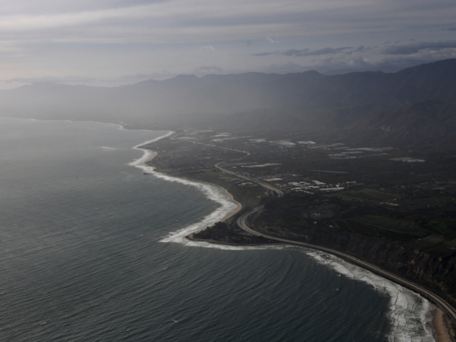
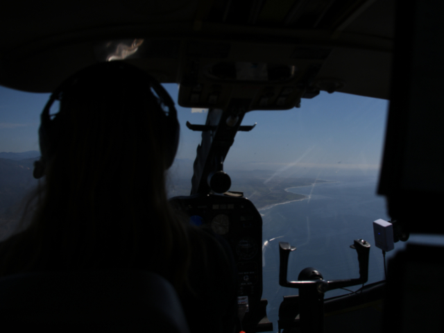
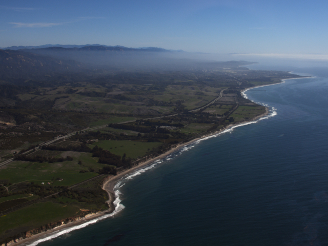
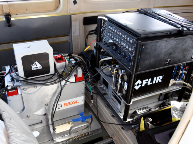
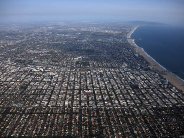
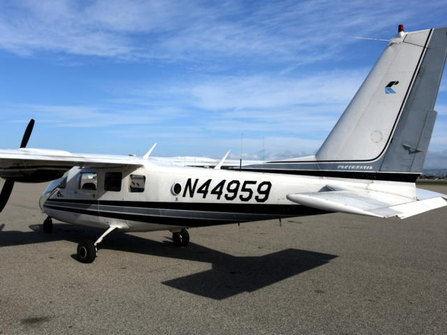
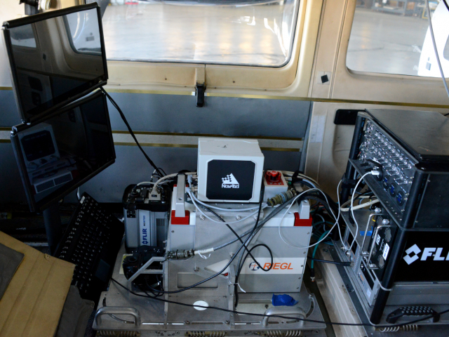
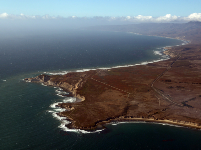
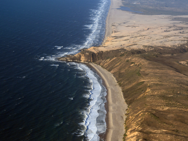
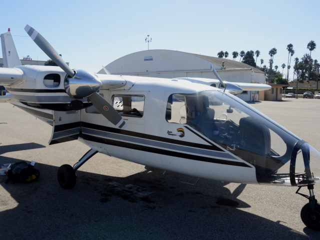
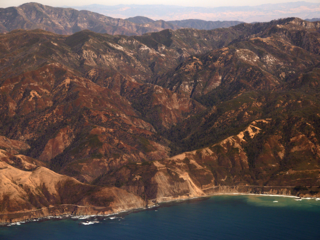
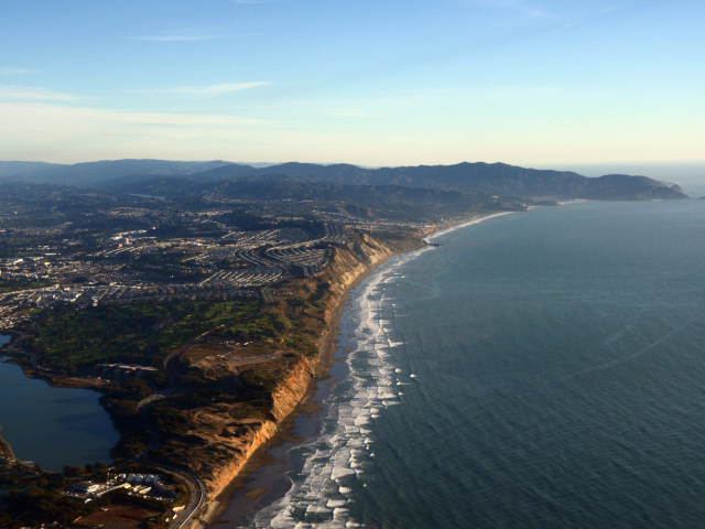
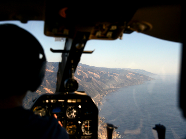
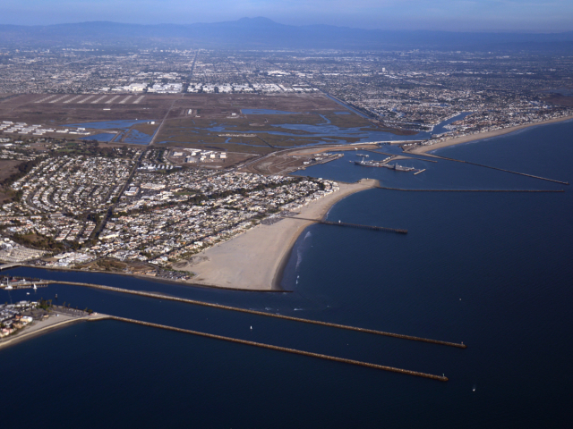
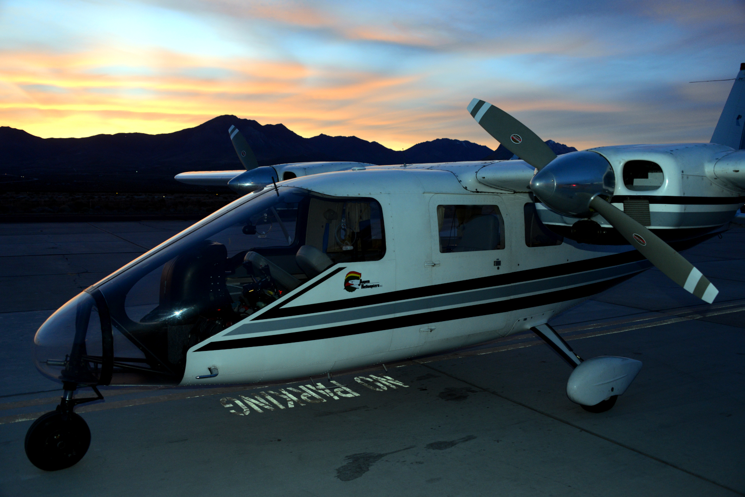
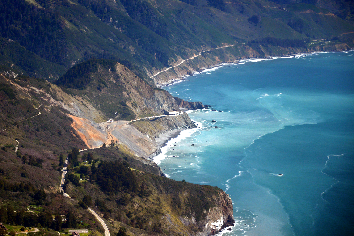
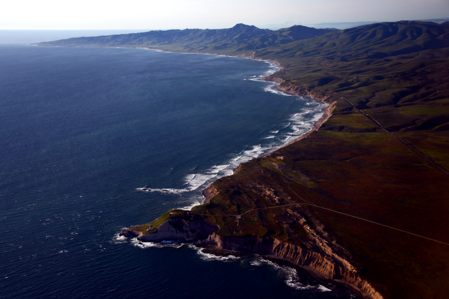
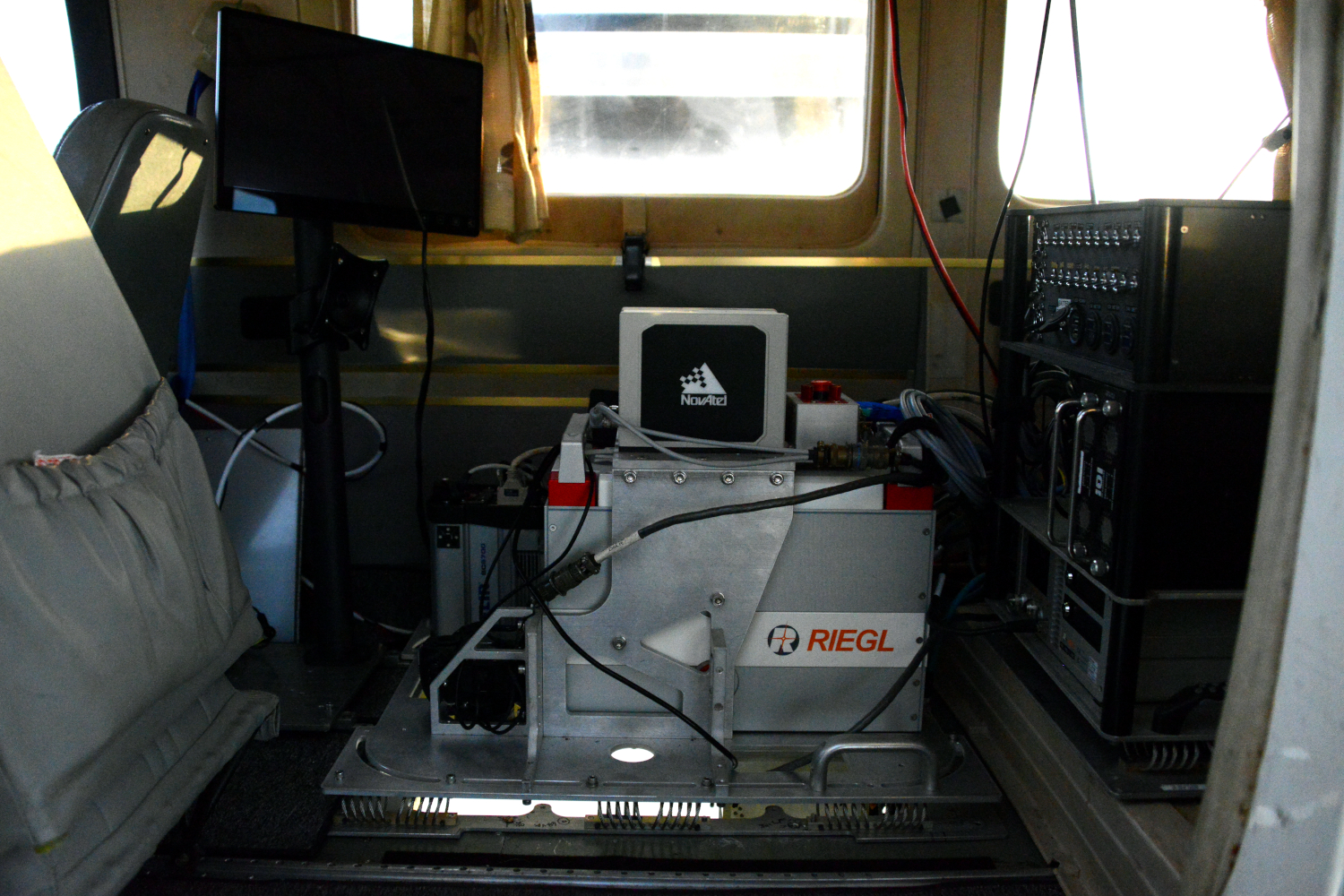
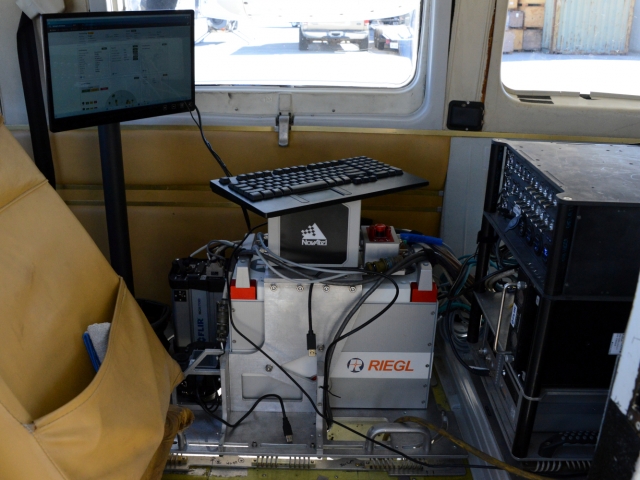
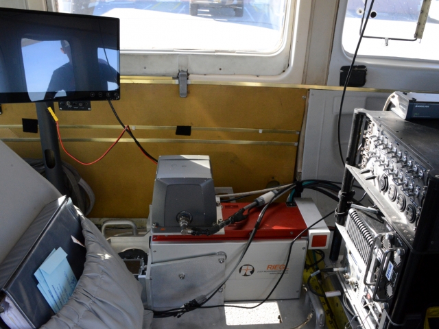
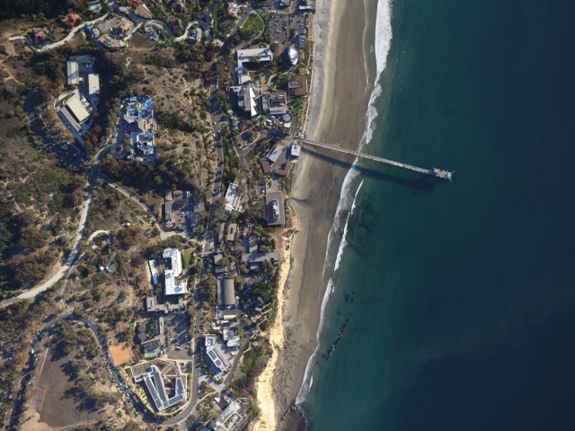
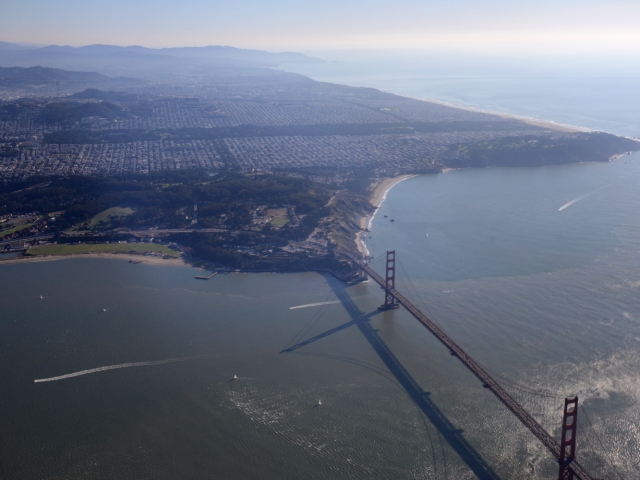
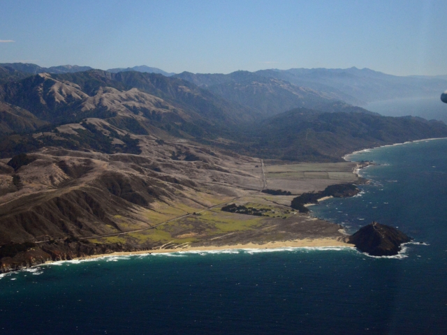
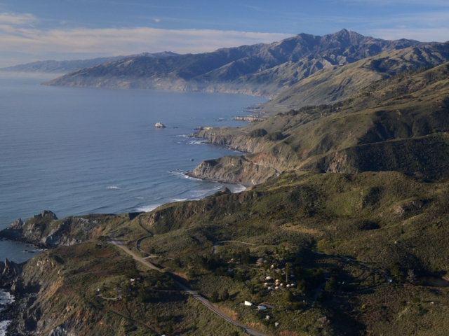
Topographic lidar survey of the California coastline funded by the state of California to monitor coastal erosion and morphology due to increasingly large storm and weather events along with rising sea levels. This survey will serve as a baseline for future surveys and was conducted just before and after an active El Nino winter season. The entire MASS suite of instruments was included during data collection to provide coincident lidar, hyperspectral, infrared, and visible imagery.
Location
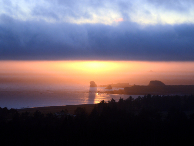
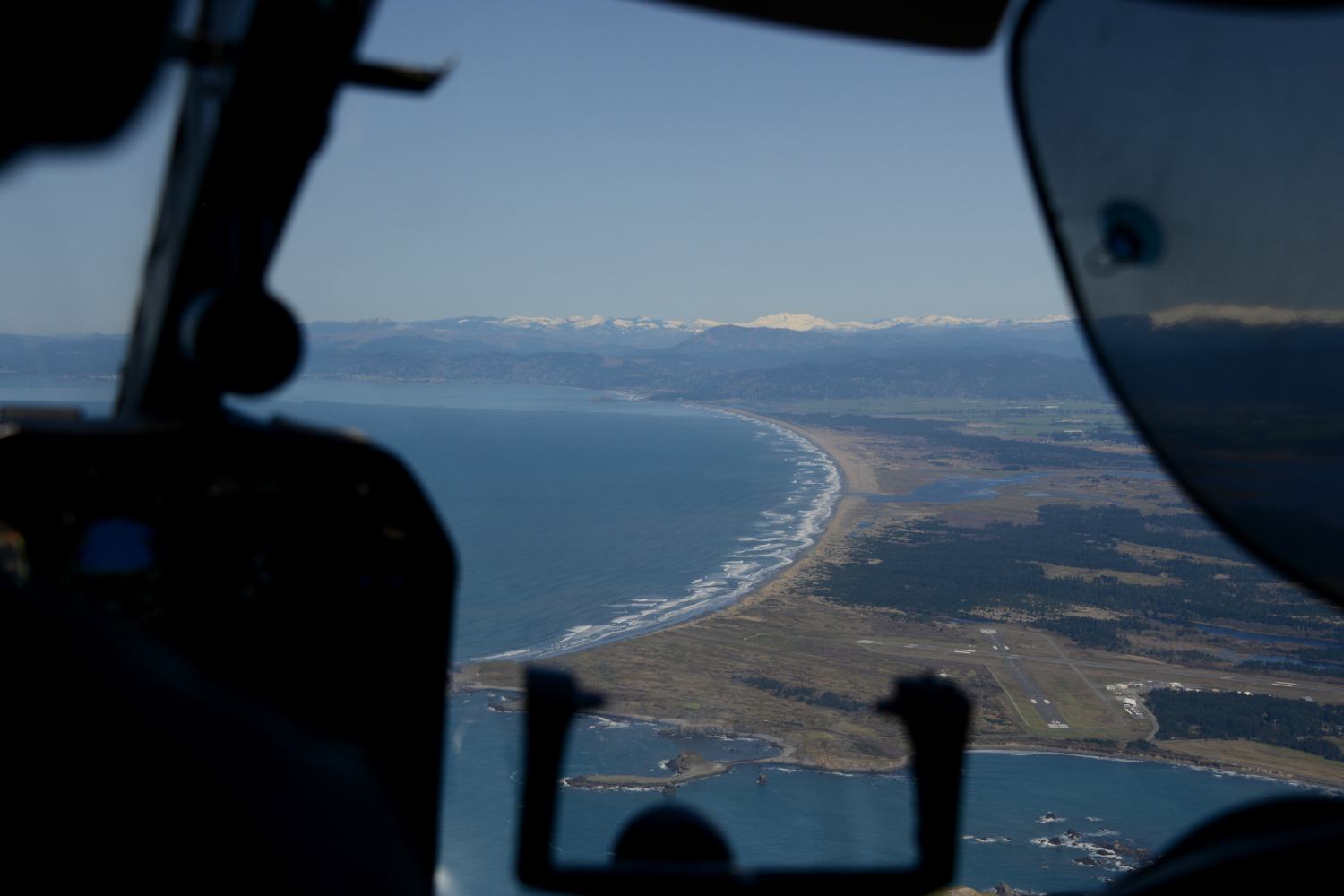
The California coastline from the Oregon border to the Mexico border.
Time
Test survey in February 2023 (Mexico to San Francisco). Full California coastline survey in October 2023, March 2024, and September/October 2024.
Media
Full Survey (March 2025)
Full Survey (September/October 2024)
Full Survey (March 2024)
Full Survey (October 2023)
Test Survey (February 2023)

