Environmental Security Technology Certification Program (ESTCP)
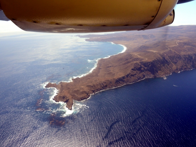
To demonstrate the potential of integrated airborne remote sensing technologies coupled with advanced data analysis methods to meet the DoD’s environmental monitoring requirements over large areas, at high resolutions, and with reasonable costs. Specifically, high-resolution airborne topographic/ bathymetric LiDAR and hyperspectral data are collected along the coastlines of San Clemente Island and Marine Corps Base Hawaii. From these data contiguous land-to-sea digital elevation maps (DEMs) and shallow water benthic habitat maps along the coastlines are produced, demonstrating how these products can be used to evaluate and document DoD environmental impacts or lack thereof. The MASS was used extensively for this project at both experimental sites to collect the LiDAR and hyperspectral data used for creating the elevation and habitat maps.
Location
Kaneohe Bay on Oahu’s east coast and San Clemente Island
Time
April 2018 (Kaneohe Bay) and July/August 2017 (San Clemente Island)
Media
Kaneohe Bay 2018
San Clemente Island 2017


