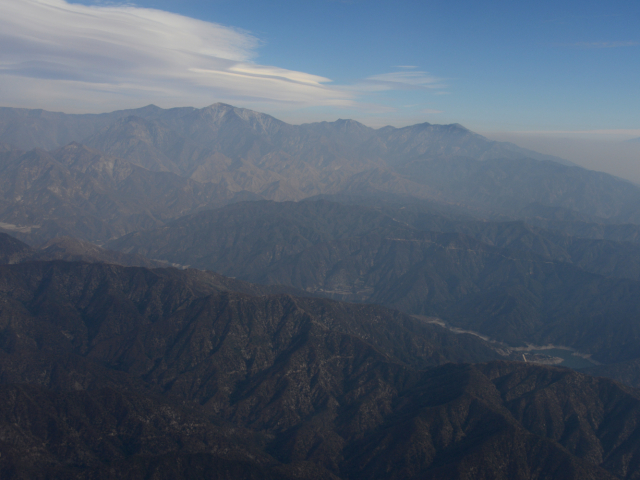
Los Angeles Fires
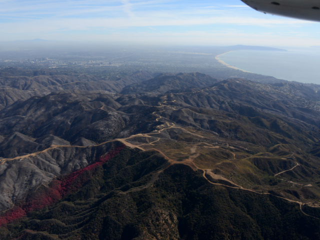
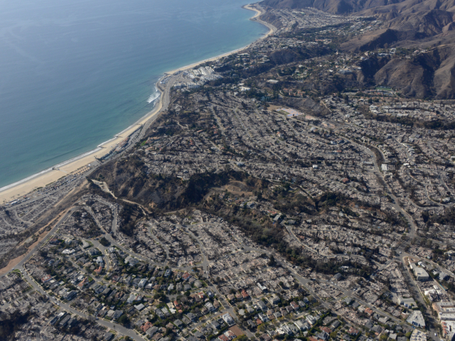
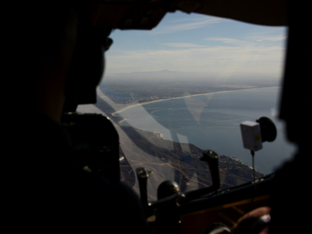
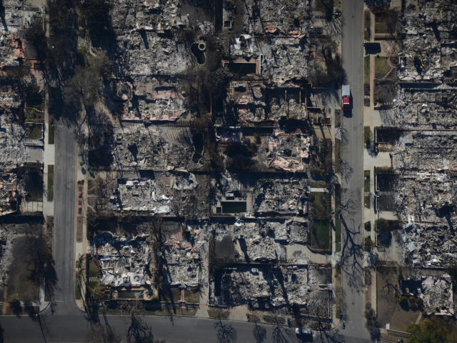
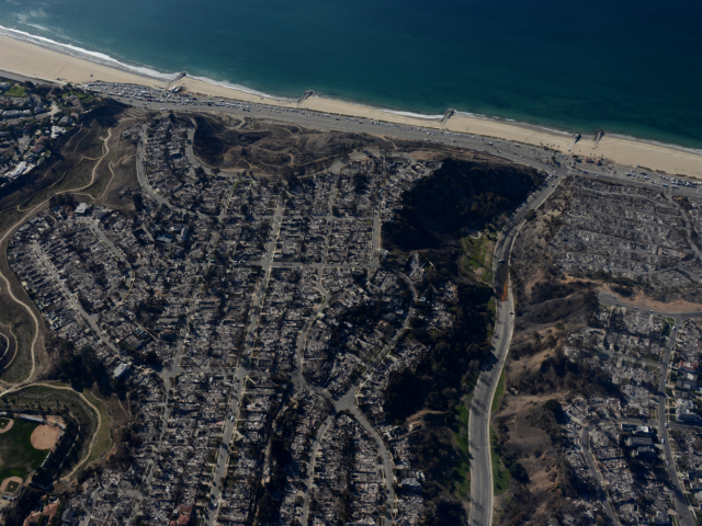
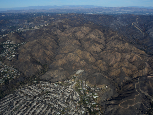
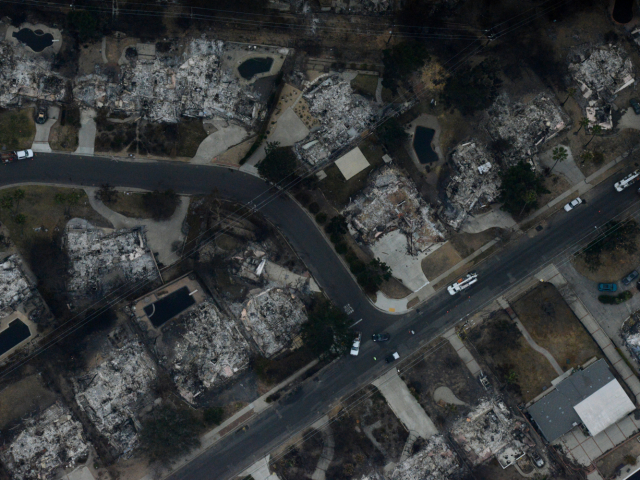
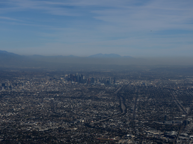
In the wake of a set of devastating fires in the city of Los Angeles, our collaborators at UCLA reached out to request aid in the response efforts. The capabilities of MASS, our airborne remote sensing instrument package, were utilized in aerial surveys over the Palisades and Eaton fire footprints in late January to assess the damage, aid in recovery efforts, and help predict potential debris flows following subsequent rain events. Analyzing the resultant data is an ongoing effort with support from UCLA and the city of Los Angeles.
Location
Los Angeles, CA.
Time
January 2025.
Media
Palisades Fire Aerial Survey (January 24 2025)
Eaton Fire Aerial Survey (January 25 2025)

